Indonesia's Ministry of Energy and Mineral Resources has included waters around Ujung Kulon National Park, Banten, in a mining-business-area map, according to a ministerial decree and reporting published on 16 November. The designation raises questions about how mineral planning will coexist with protection of one of the world's most sensitive conservation landscapes.
What the decree says
The ministry's legal database identifies Ministerial Decree No. 65.K/MB.01/MEM.B/2026, dated 12 February 2026, as the currently effective designation of mining areas in Banten. The decree replaces a 2022 decision. Its accompanying map, as described by Tirto and IDN Times, marks waters surrounding Ujung Kulon as a Wilayah Usaha Pertambangan (WUP), or mining business area. This is a planning classification, not evidence that a company has received a mining permit or started extraction.
What the provincial government says
Banten energy and mineral resources chief Ari James Faraddy confirmed the designation to reporters. He said actual mining would still depend on regional spatial plans and the required approval for conformity with spatial use, known as PKKPR. His explanation does not establish whether any particular concession will be approved.
Why scrutiny matters
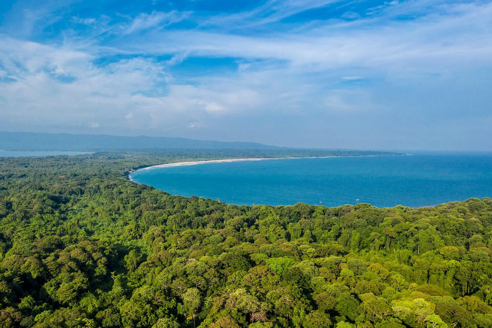
Ujung Kulon National Park is internationally important for the critically endangered Javan rhinoceros. A planning boundary near a protected area warrants close examination, but the reporting does not establish that mining is taking place inside the park, or that its legal conservation status has been removed. Nor does it prove that any rhinoceros relocation plan is linked to mining.
The outstanding questions are precise: where are the mapped WUP boundaries relative to the park's legally protected marine zone, what environmental and spatial-planning assessments have been undertaken, and have any permit applications been submitted? News WLD will distinguish documented decisions from proposed activity as those records become available.